
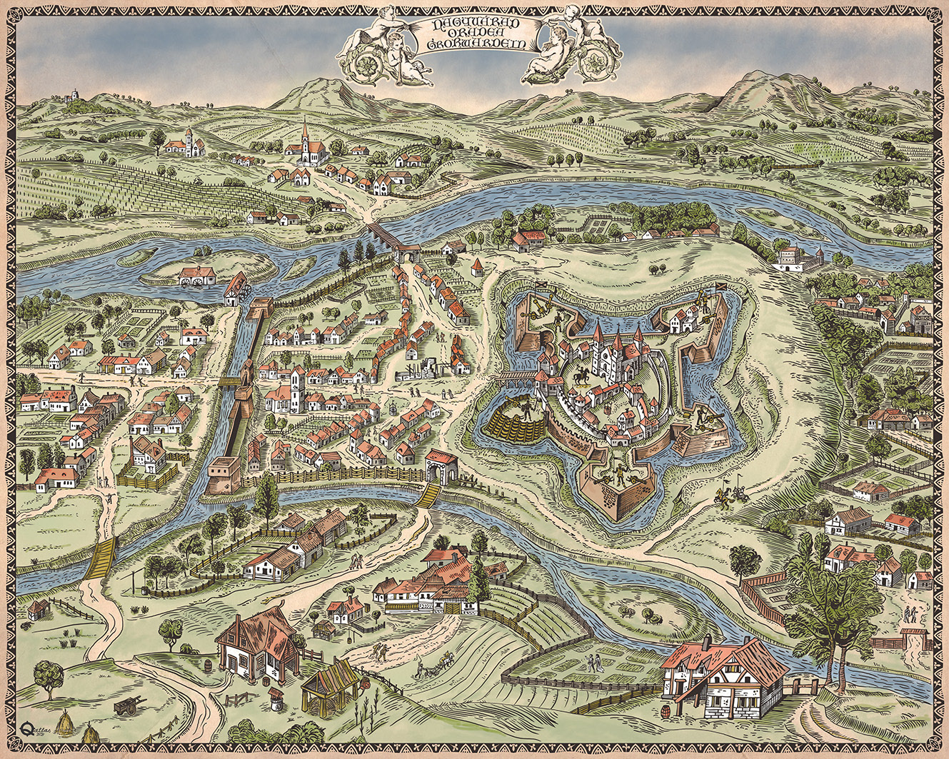
Varadinum city map (Braun & Hogenberg, 1618) digital reproduction.
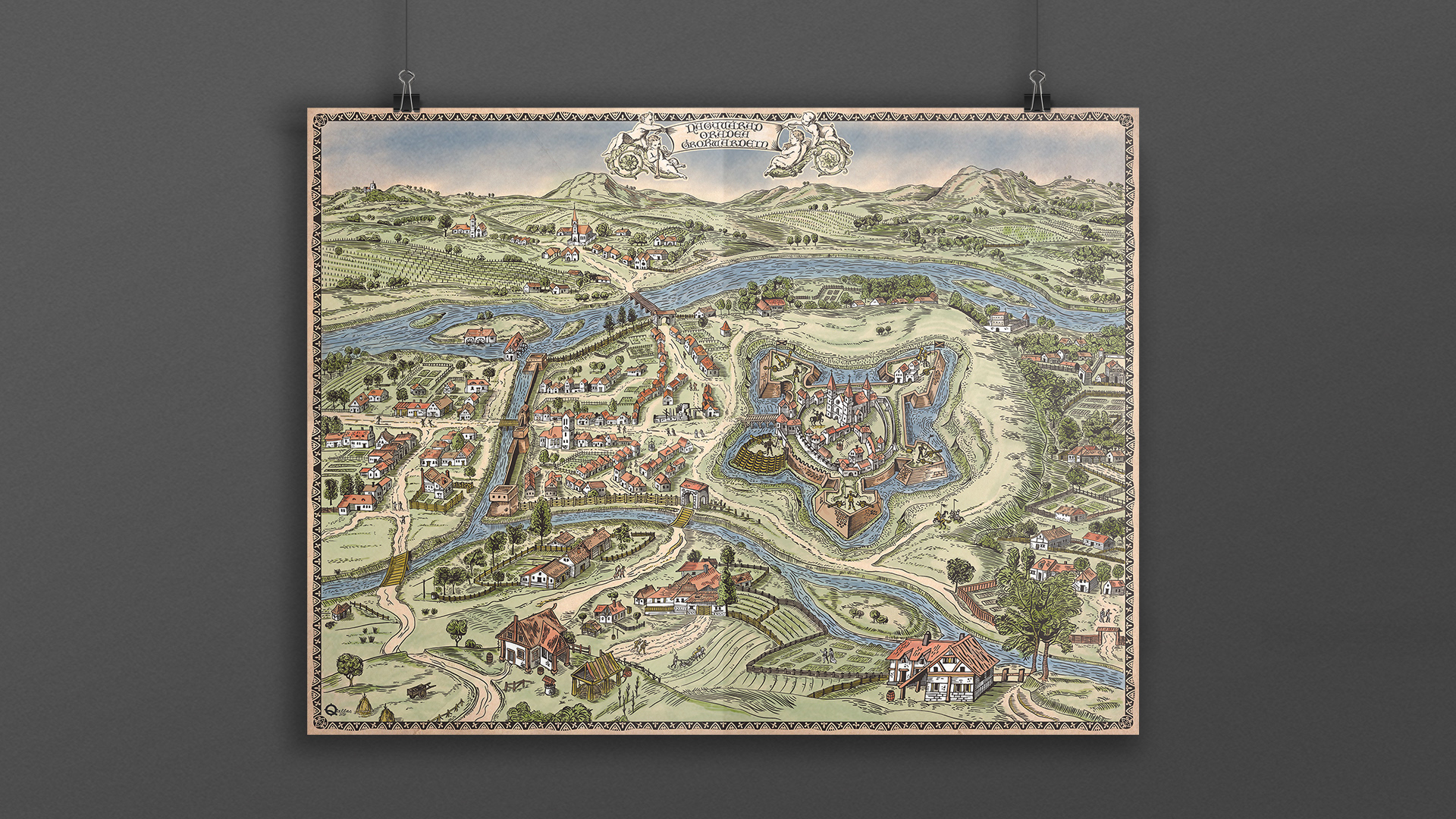
Map details
Workflow video
A short comparative animation between the original Varadinum (Nagyvárad, Oradea) anno 1617 engraving by Braun & Hogenberg and my work
A short comparative animation between the original Varadinum (Nagyvárad, Oradea) anno 1617 engraving by Braun & Hogenberg and my work
The Original engraving was made in the 16th century by Frans Hogenberg, after a painting by the artist Georg Hoefnagel.
It is a panoramic view of the city of Oradea, which was included in a famous atlas dedicated to the cities of the world, "Civitates Orbis Terrarum", edited by Georg Braun in Cologne, in 6 volumes, between 1572 and 1617 and comprising 546 drawings, panoramic images and city maps.
It is a panoramic view of the city of Oradea, which was included in a famous atlas dedicated to the cities of the world, "Civitates Orbis Terrarum", edited by Georg Braun in Cologne, in 6 volumes, between 1572 and 1617 and comprising 546 drawings, panoramic images and city maps.