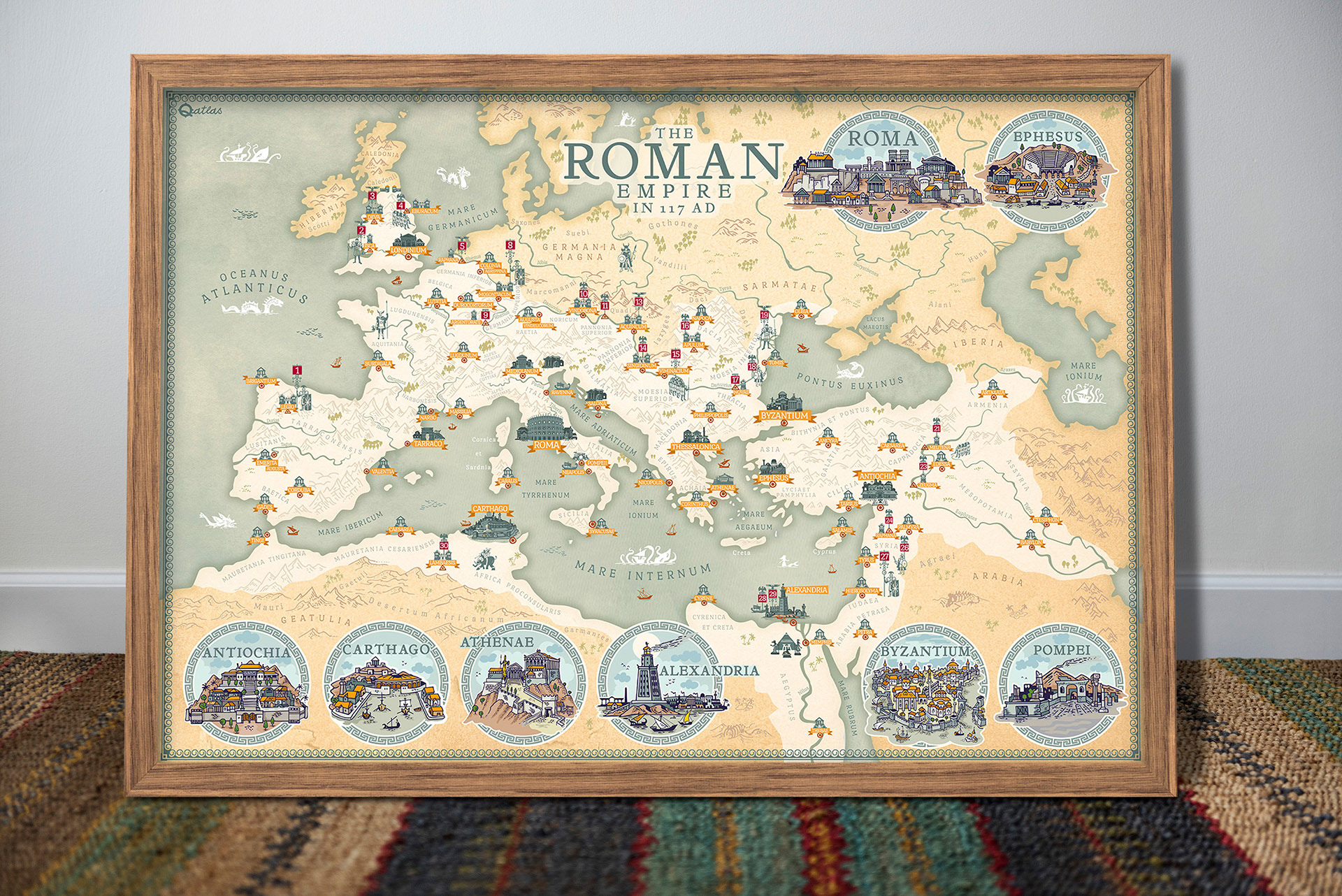
The map you see depicts the borders and major cities of the Roman Empire in 117 AD. The year 117 AD was a period when the empire was at its largest and most prosperous, expanding even further under the rule of Emperor Trajan through the conquest of Dacia. The map shows the borders of the empire stretching from the Pannonian Basin in the east to the shores of the Mediterranean, as well as the northern part of North Africa and the British Isles.
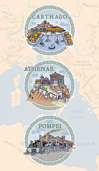
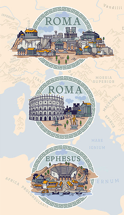
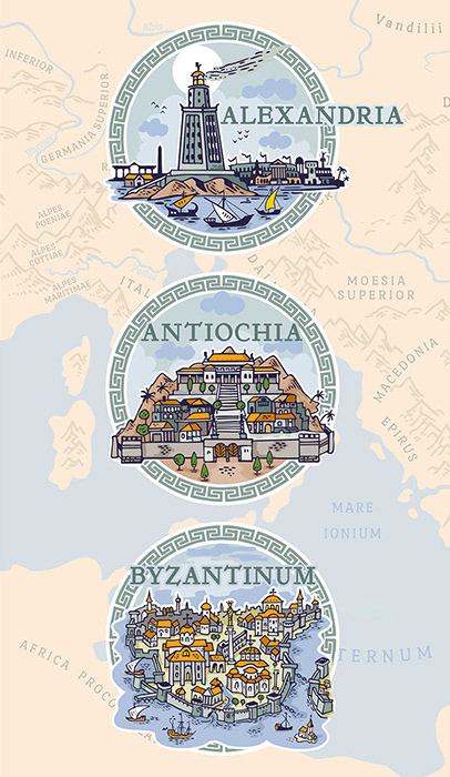
here are also important cities illustrated with hand draw illustrations on the border of the print, such as Alexandria, Constantinople, Ephesus, Carthago, Antiochia, Athenae, Byzantium or Pompei.
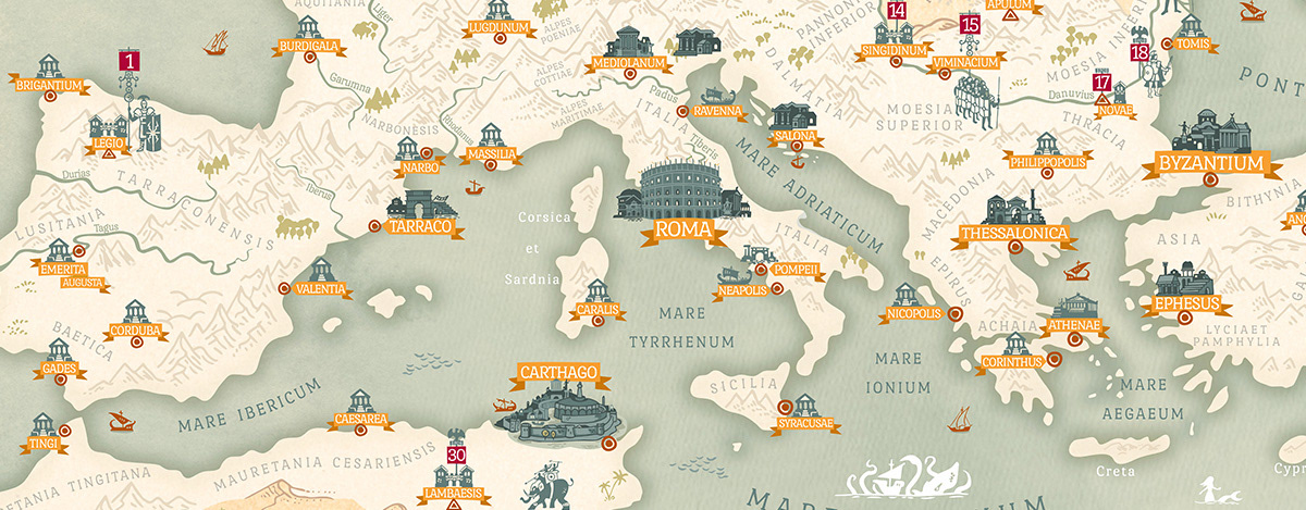
The map also shows the locations of the Roman legions by number and navy bases across the region, and not only displays the borders and cities of the empire, but also highlights the major rivers, mountain ranges, and other natural features that played important roles in sustaining the empire's economic and military power.
Overall, the map provides a good overview of the territorial extent and major settlements of the Roman Empire.
Overall, the map provides a good overview of the territorial extent and major settlements of the Roman Empire.