
Embark on a journey through medieval Hungary with my meticulously crafted map. Spanning the 11th to 13th centuries, this Pictorial Map draws inspiration from the Chronica Picta, featuring detailed vector illustrations and historical landmarks.
At the heart of the map is the reign of the Árpád Dynasty, beginning with King Stephen I’s coronation around the year 1000, which established Hungary as a Christian kingdom. The map reveals the kingdom’s extent across the Carpathian Basin, including present-day Hungary, Slovakia, Transylvania, Vojvodina, and Burgenland.

Key locations such as Esztergom, the royal seat, and Székesfehérvár, where kings were crowned, are highlighted, alongside counties and medieval administrative units that governed the kingdom. The map not only presents geographical details but also offers insight into the social and political structure of medieval Hungary.
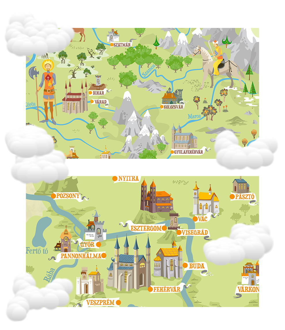
Explore Hungarian history, from the Árpád Dynasty to the Mongol Invasion, in this captivating blend of Fantasy and Reality. The colorful illustrations and detailed labels allow you to understand the placement and significance of historical settlements, fortresses, and towns, making the map both educational and visually engaging.

This map is perfect for history enthusiasts, educators, and anyone fascinated by medieval Hungary, bringing the rich culture and landscape of the 11th–13th centuries to life in a beautifully illustrated format.