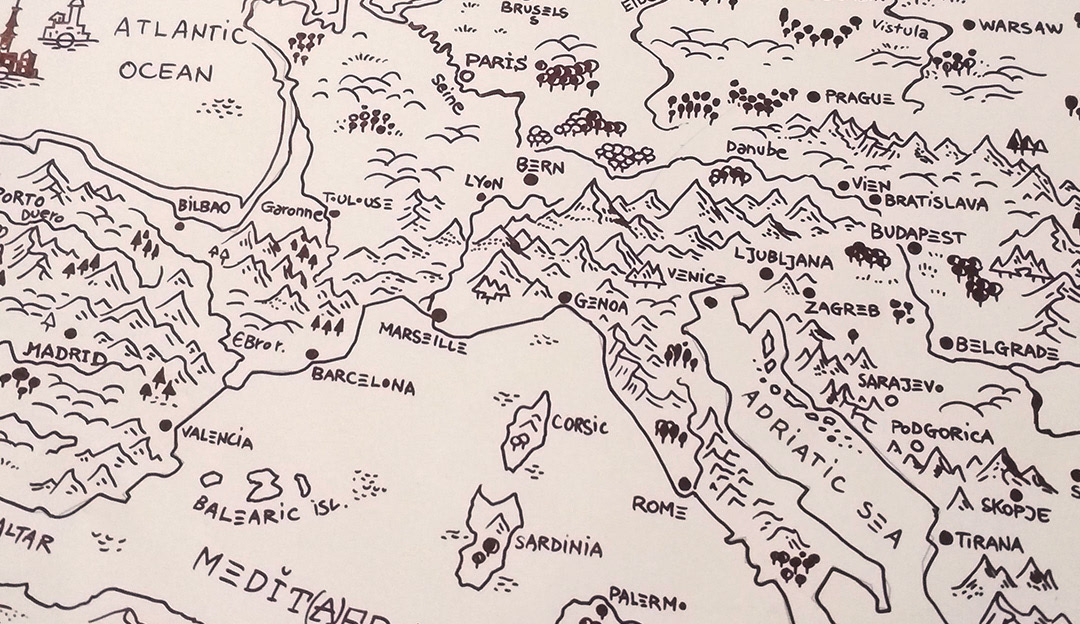
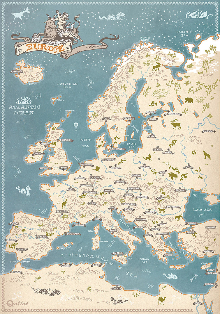
A hand-drawn map of Europe combining traditional illustration with digital refinement. The map was first sketched in pencil, reinforced with ink liner, and later digitally colored while preserving the original handmade character.
A special detail of the piece is that the names of the cities, rivers, and seas were also drawn by hand. While the map does not include political borders, it features many of Europe’s major cities, rivers, and geographical landmarks.
The artwork also includes simple yet expressive animal icons inspired by European wildlife, adding extra personality and charm to the composition.
Created entirely by hand, this map can work as a unique decorative print for a home office, study room, classroom, or for anyone who enjoys cartography and illustrated atlases.
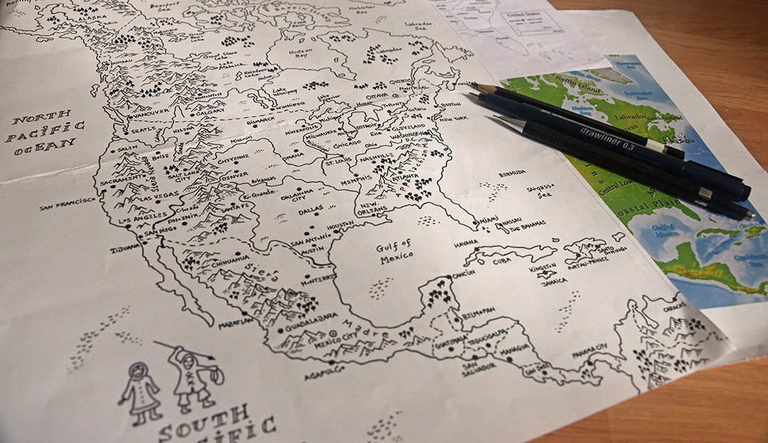
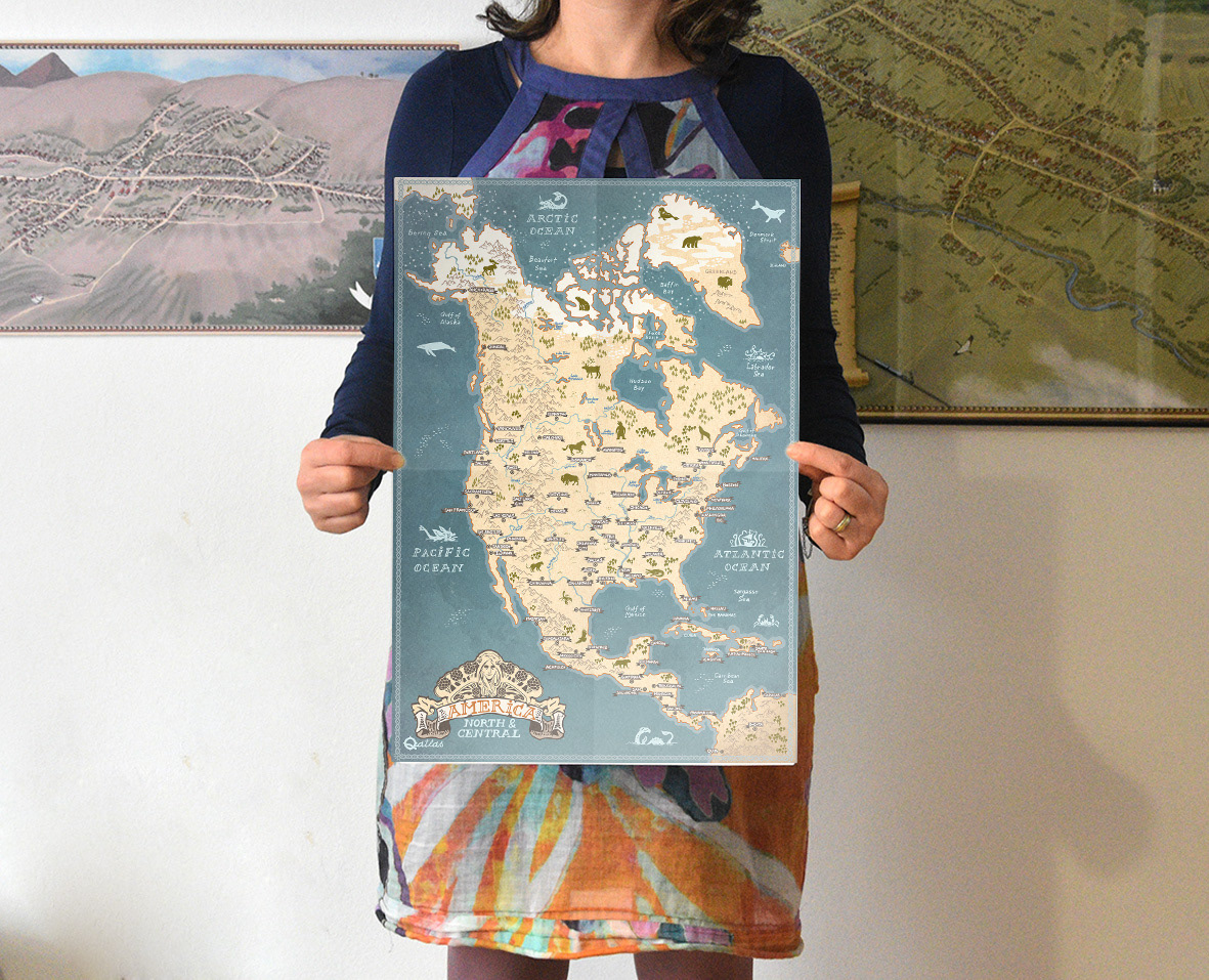
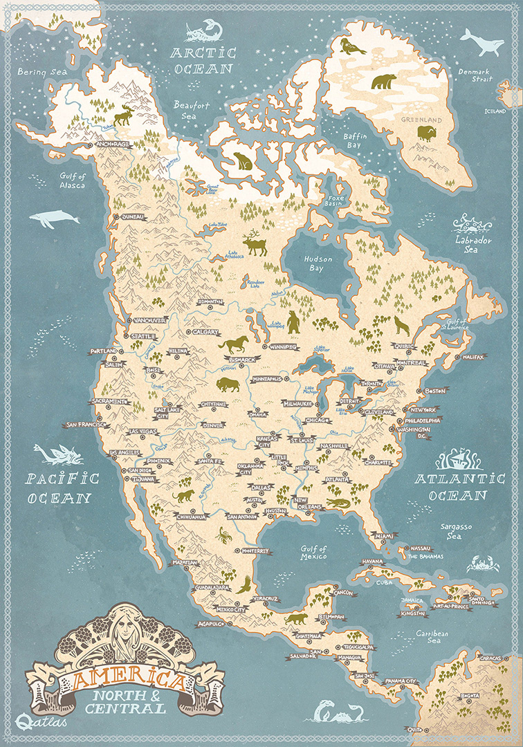
A hand-drawn map of the Americas, from Anchorage in Alaska down to Bogotá in South America, covering North and Central America in a single illustrated composition. The design blends traditional sketching with digital refinement, creating a slightly historical, fantasy-inspired, medieval atlas feel.
The map was first drawn by hand, then refined with ink liner and finished digitally while preserving its handmade character.
It includes key geographical regions along with hand-drawn animal illustrations, adding atmosphere and a sense of storytelling to the continents.
This piece works well as a decorative print for a geography classroom, study room, or children’s room, bringing maps and exploration to life in a visual form.
Working process